Sierra Caral Protected Area
DESCRIPTION
Sierra Caral is part of the mountainous chain of Morendon and forms part of the municipality of Morales and Puerto Barrios, Izabal. There are multiple accesses to Sierra Caral by dirt roads using vehicles with two or four wheels, mainly during the dry season. The average yearly precipitation has been 2,900 mm and it is distributed in 212 days during the months of May through January. Also, a dry season is appreciated from March to May. The absolute maximum and minimum temperatures range from 36 C and 14 C, with an average temperature of 26 C. The relative average humidity reaches 83% and the YEARLY MEDIAN evaporation/transpiration has been 1,668 mm. This area also has several rivers such as the Bobos, Negro, Las Animas, Platanos and Cacao which share the Honduran border.
ACTIVITIES
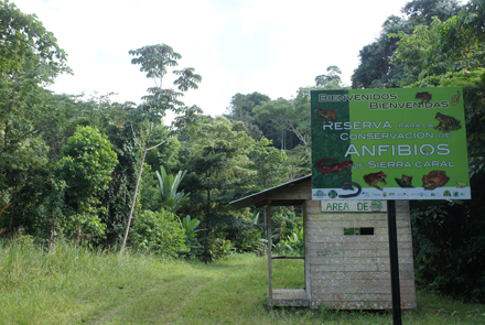
- Hike in the magnificent natural museum of the tropical forest of Sierra Caral and its amphibian natural reserve
- Enjoy a pleasant time in two swimming pools
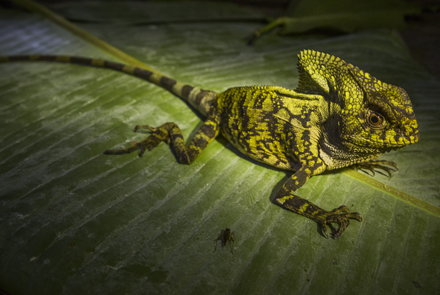
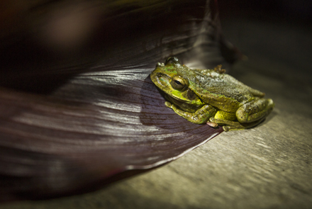
- Gaze at the splendorous tropical fauna: mammals, amphibians, insects, reptiles and more than 400 bird species
- Enjoy the company of a local guide who will share with you his ample knowledge of the forest
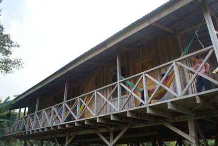
- Stay at our visitor center
- Enjoy the splendor of the tropical fauna and experience its diversity!
- Visit the Mesoamerican Biological Corridor and one of its best preserved areas
Access routes and trip through the Protected Area, Sierra Caral:
Routes
The Atlantic route takes you to the crossing “Entre Rios” located on kilometer 282. Next, take the asphalted road that goes through COBIGUA, a banana plantation (stretch between Entre Rios and the Honduran border), until you approximately reach kilometer 305 (entry to the Jimeritos community). Afterwards, take a 12-kilometer dirt road on a vehicle passing through Nuevo Cacao River to reach the Champas Corrientes community. From this point forth, the Sierra Caral bordering Honduras is located 1 kilometer away which is the last part of the protected area limited by the Nuevo Cacao River.
After leaving Morales, take the dirt road to Suiche Quebradas passing through the villages of Quebrada Grande and Las Minas for a 22-kilometer stretch. From here on, you must take a horse trail whether on foot or on horseback where you will reach the communities of Nueva Esperanza, Santa Rosita, San Marcos, Malcotales and San Miguel. This stretch of the way will take you approximately 4 hours. Continuing on the dirt road parallel to the outer limit of buffer zone of Las Minas, you will pass through the communities of San Joaquin, La Ceibita, El Quinto, until you reach Peñitas (an additional 10-kilometer trip on a two or four-wheel vehicle that is accessible most part of the year with some difficulty during the rainy season). From Peñitas you will reach the forest and trails whether or foot or horseback. The border is located at about 10 kilometers from this point. The stretch on dirt roads is about 32 kilometers from Morales to the community of Peñitas.
An alternate access route is taking a dirt road that starts in Morales passing through Playitas. Afterwards, you must take a 4x4 vehicle in order to reach the village Quebrada de la Sierra. This route is 24 kilometers long and is accessible most part of the year except during October through December when the Chinamito river´s level rises impeding its passage.


